

Land Surveying Services
There are numerous reasons to engage our surveying services, from property management, estate planning, and boundary disputes / questions, to support for commercial ventures such as subdivisions, site development, through construction layout and As-Built completion. Our services include topographic survey, which provide detailed contour data essential for project planning. Whatever your needs, competent high-quality surveying services and topographic surveys are a must. Sitelines PA has been instrumental in helping clients throughout Maine and New Hampshire with surveying and other services for many years.
Sitelines acquired Brian Smith Surveying in 2012, expanding our local boundary surveying client base, particularly into Bowdoin, Bowdoinham, and Richmond. We also specialize in topographic maps, which are invaluable resources for planning and development in the Brunswick area. In addition, we have the complete files for Dirigo Land Services and Rouillard Land Services, as well as portions of files from many nearby surveyors.
Our surveyors are experts in establishing boundaries for ownership, surveys for financing, locations for purposes required by government or civil laws, and conducting topographic surveys to map out both natural and man-made features. A land survey can help protect your investment by determining the exact dimensions, size, location, and any other improvements on the land, such as driveways that could cross property lines. Incorporating topographic data ensures that all terrain features are accurately represented.
Land Surveying Services We Provide
• Deed Research
• Deed and Easement Descriptions
• Subdivisions
• Aerial Surveys and Network Control
• Boundary and Retracement Surveys
• Topographic Surveys
• Land Title Surveys (ALTA/ACSM)
• Mortgage Loan Inspections (MLIs)
• Construction Quality Assurance / Quality Control
• Construction Layout and Control
• As-built Surveys
• Record Documentation
• Condominium and Plats
• Flood Elevation Certificates
• Letters of Map Amendment (LOMAs)
• Certified Floodplain Surveyor
Our surveying program also guides clients through the permitting process, crucial for project success.
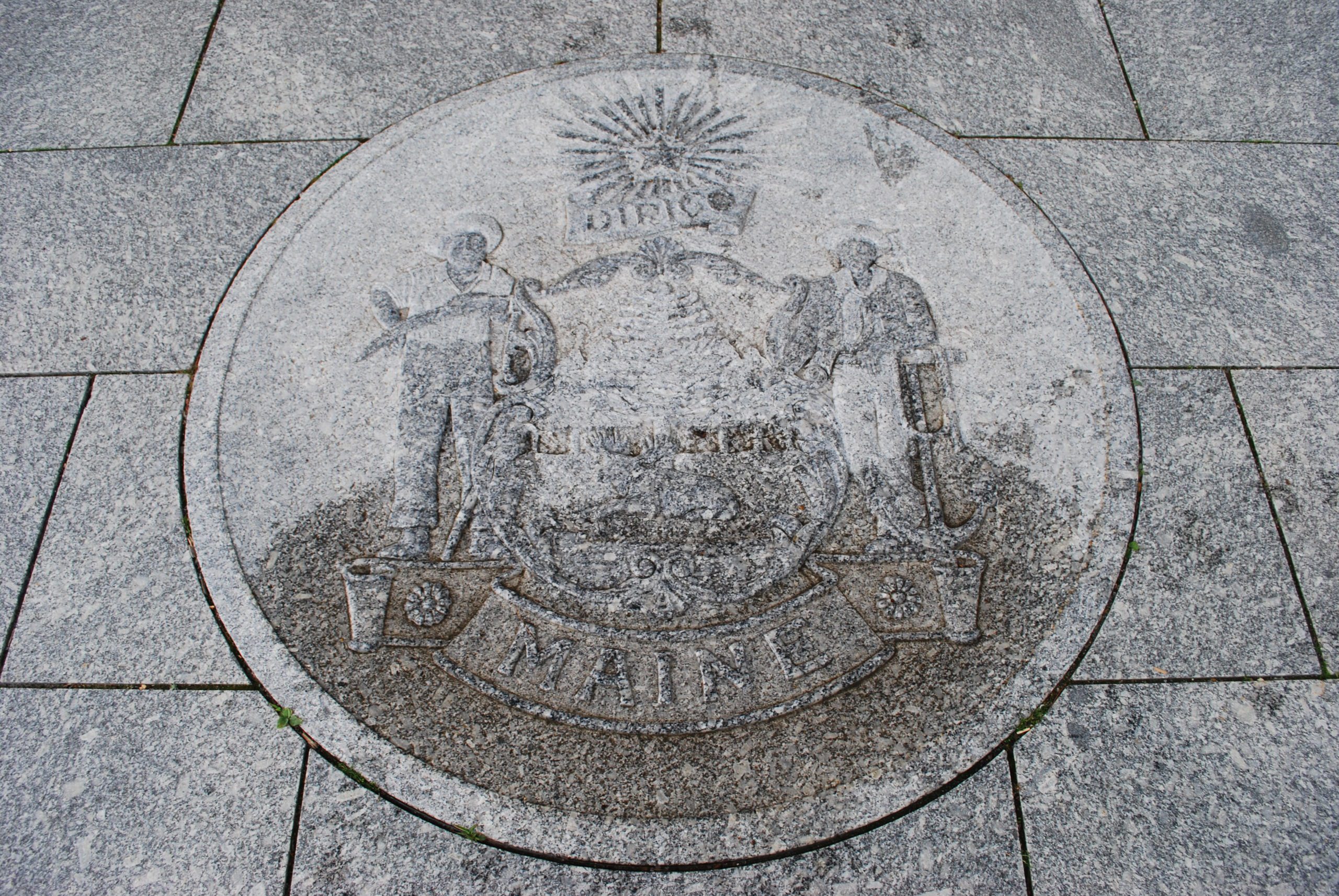
The Vital Role of Surveyors in Maine and New Hampshire
Land surveyors and topographers are essential in property development. With their expertise in measuring and mapping, they help ensure accurate project planning by determining precise property boundaries and topographic features. Surveyors also offer valuable insights into local landscapes, ensuring compliance with zoning regulations and environmental guidelines through comprehensive topographic surveys. Utilizing advanced technology like GPS and incorporating LIDAR data, they provide the detailed data needed for project success.
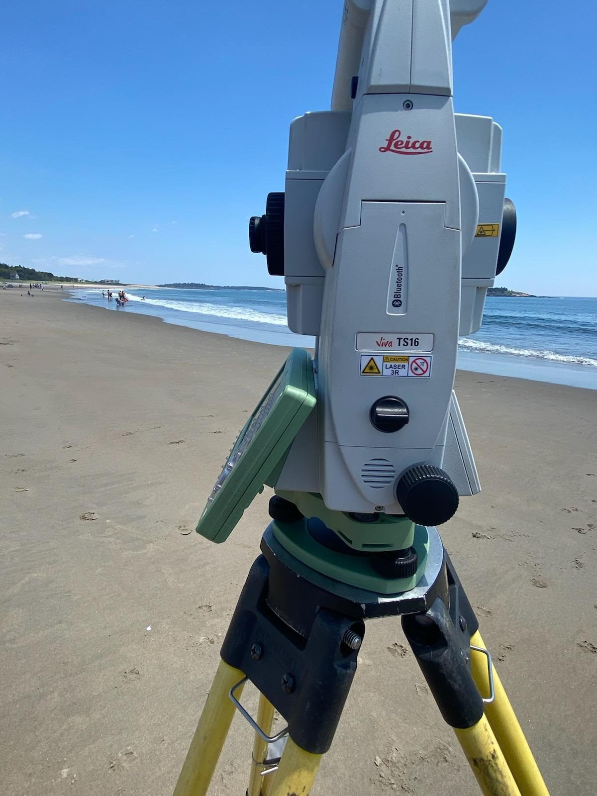
Key Instruments for Accurate Surveying
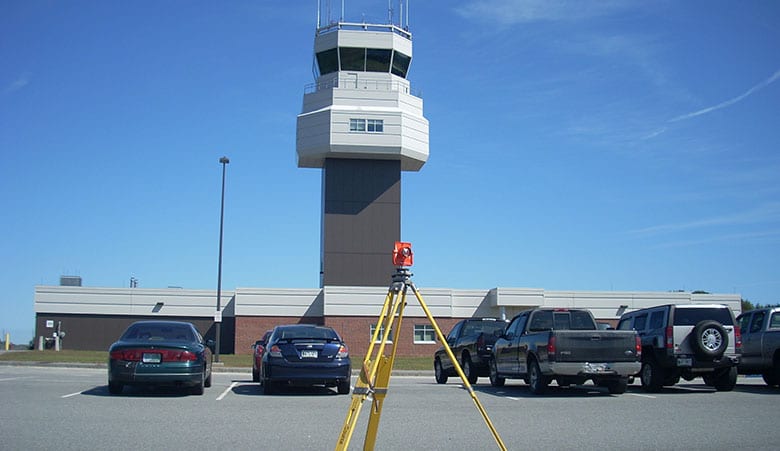
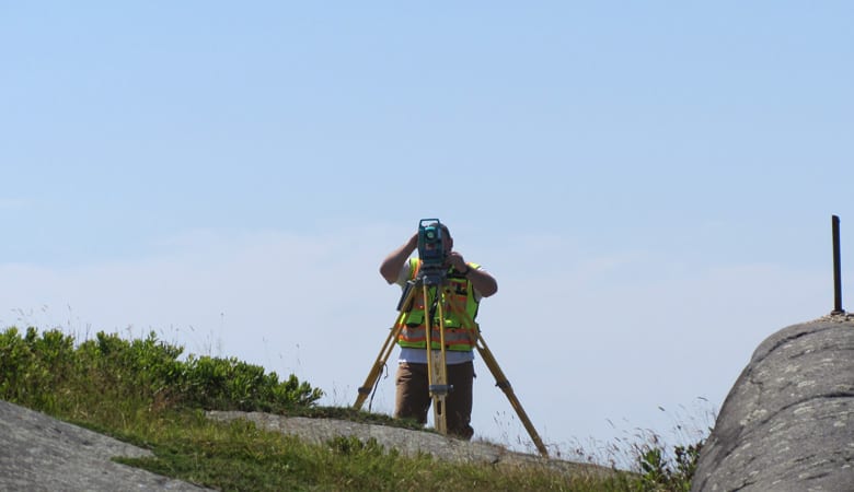
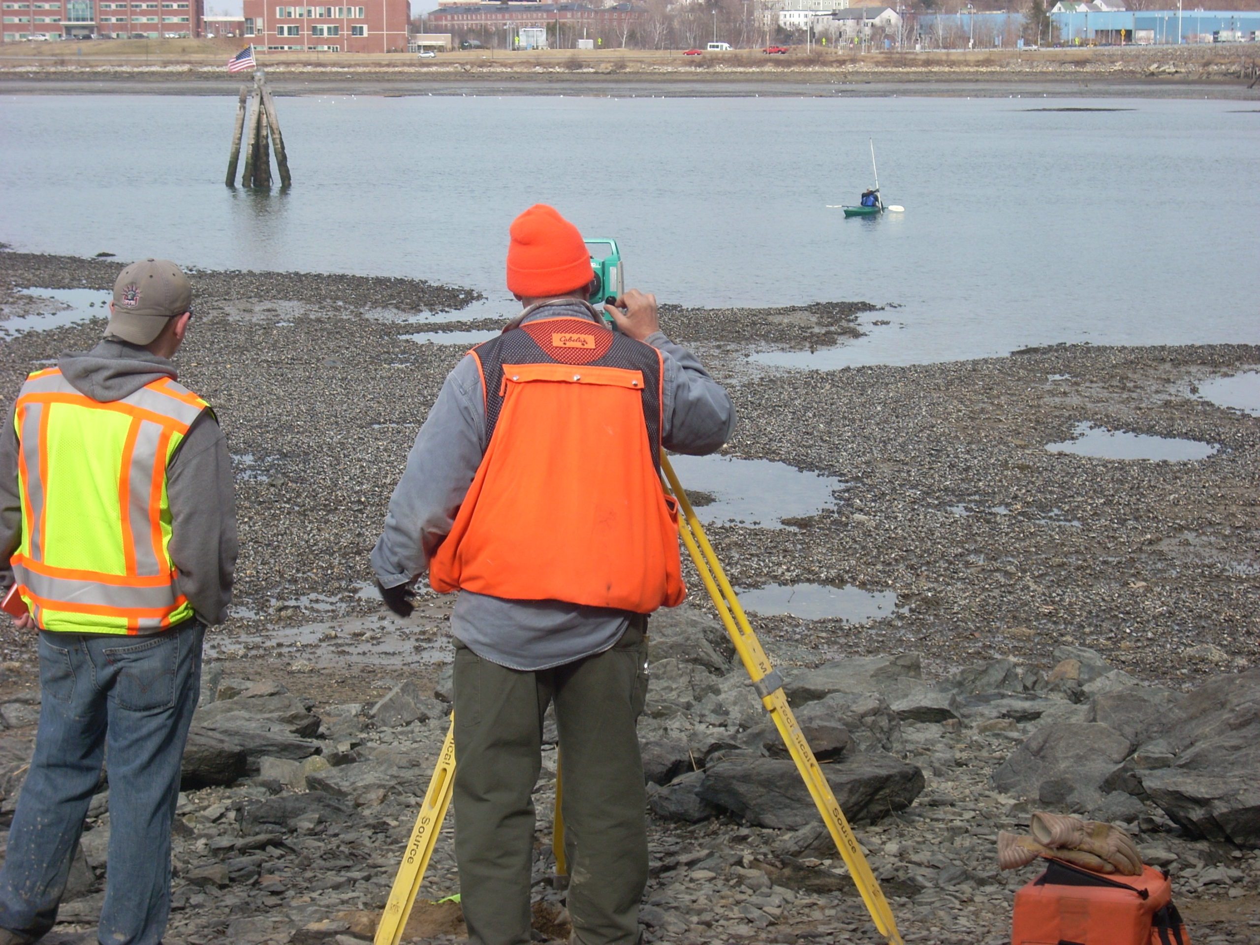
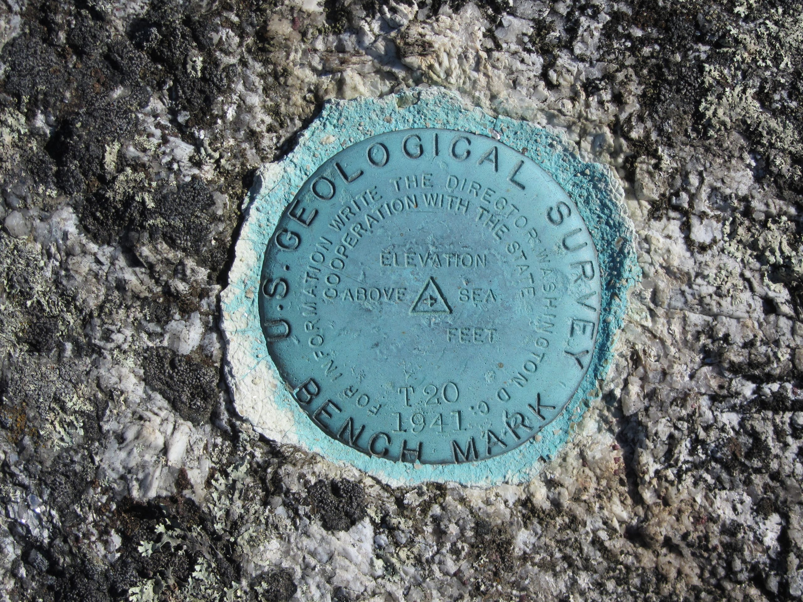
Precise land surveying hinges on the advanced tools used by professionals: Total Stations to measure angles and distances; levels for accuracy in elevation measurement; and cutting-edge technology like GPS units, drones, and scanners are among the critical instruments for modern surveyors. This equipment helps capture accurate data for reliable mapping. Advanced systems are used to ensure the accuracy of measurements and the integrity of the topographic data collected during surveys. Surveyors employ digital software to convert this data into topographic maps. Precision in these measurements is vital for both residential and commercial project design.
Innovations in Surveying Technology
Incorporating topographic design is a critical step in the process of land surveying, impacting the project’s scale and detail. Technology has revolutionized the land surveying industry in recent years. Tools such as laser scanning, drones, and advanced computing greatly enhance the speed and precision of surveys. Surveyors harness these advancements to conduct detailed analyses of terrain and environmental features, including both natural and man-made features, ensuring adherence to necessary standards. This level of technological detail land surveying offers newfound reliability in results.
How to Choose a Surveyor
Choosing a land surveyor requires consideration of their local and statewide expertise and credentials. Those acquainted with the region’s specific geography and regulatory environment can provide services more efficiently. Ensuring the surveyor is licensed with strong community references and past project ratings is also vital. Ultimately, hiring a knowledgeable surveyor protects your investment and ensures smooth property development.
From the Field


For more information about our land surveying and civil engineering, please contact us at 207-725-1200. We look forward to partnering with you on your next commercial or residential enterprise. Reach out to our office by email for further assistance or information.